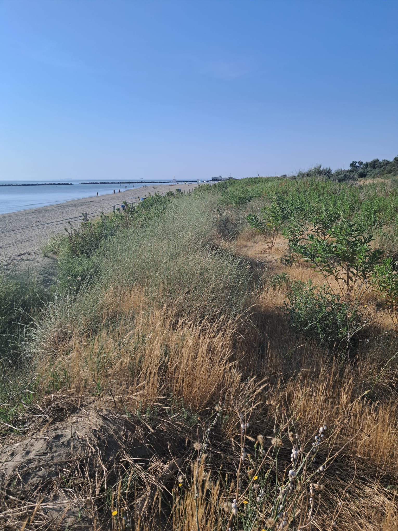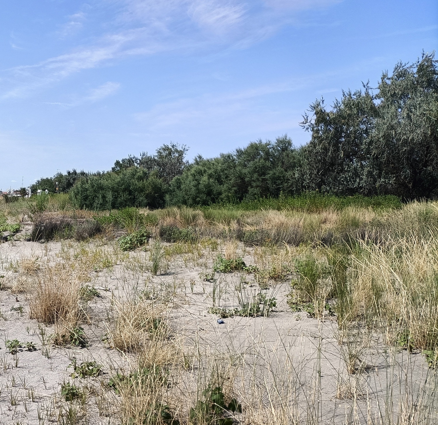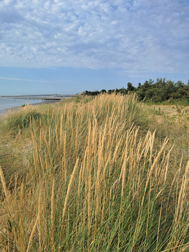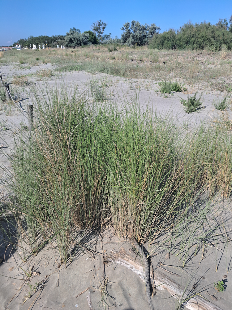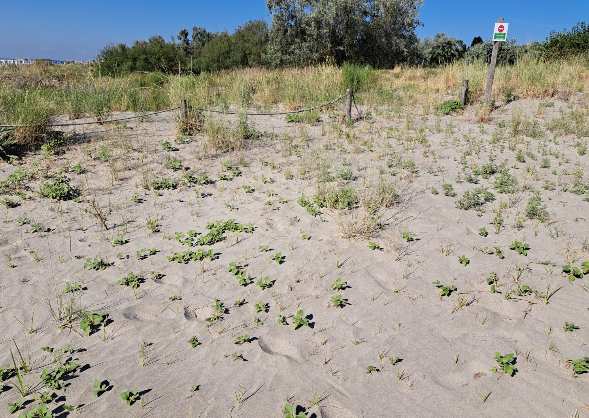
Dune habitats are highly fragile environments that are at risk of disappearing due to climate change, increasing coastal erosion, and tourism and recreational beach activities.
One of the objectives of the LIFE NatConnect2030 project is the restoration of these habitats through the reduction of human pressures. These activities are carried out by the Management Authority for Parks and Biodiversity – Po Delta Park, Emilia-Romagna.
The dune habitats recognized and protected under the Habitats Directive 92/43/EEC are:
- 1210 “Annual vegetation of drift lines” (pioneer communities that develop on organic debris accumulated along the shoreline)
- 2110 “Embryonic shifting dunes” (the first dune formations near the coastline, poorly developed and unstable)
- 2120 “Shifting dunes along the shoreline with Ammophila arenaria (‘white dunes’)” (active dunes stabilized by marram grass)
- 2130* (priority habitat) “Fixed coastal dunes with herbaceous vegetation (‘grey dunes’)” (stabilized dunes with herbaceous cover; characterized by high biodiversity)
- 2160 “Dunes with Hippophae rhamnoides” (dunes colonized by shrubs, particularly sea buckthorn)
- 2230 “Malcolmietalia dune grasslands” (annual herbaceous vegetation typical of Mediterranean sandy dunes)
The Natura 2000 sites containing these habitats are:
- IT4060003 SPA-SAC “Vene di Bellocchio, Sacca di Bellocchio, Mouth of the Reno River, Bellocchio Pine Forest”
- IT4060005 SPA-SAC “Sacca di Goro, Po di Goro, Valle Dindona, Mouth of the Po di Volano”
- IT4060007 SPA-SAC “Bosco di Volano”
- IT4070005 SPA-SAC “Casalborsetti Pine Forest, Staggioni Pine Forest, Porto Corsini Dune”
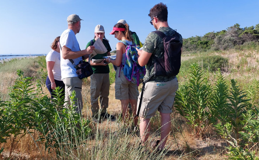
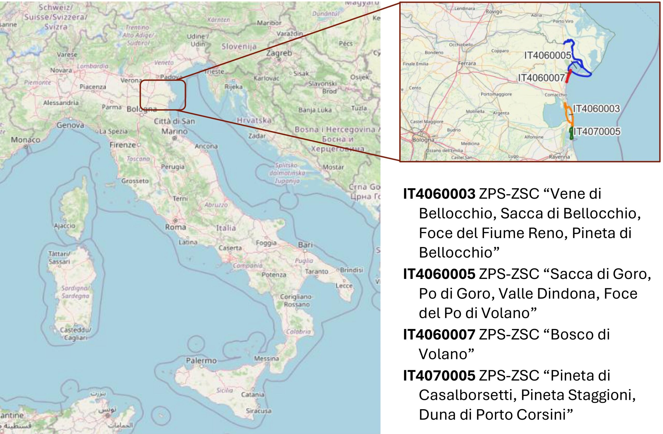 Park technicians carried out four days of ex-ante monitoring in June (23/06 and 27/06) and July (01/07 and 02/07) 2025. Activities were conducted during the same time period (08:00–13:00) and following the same methodology, by walking along existing paths within the monitored areas and following the habitat boundaries identified in the regional habitat maps.
This made it possible to verify the correspondence between the actual conditions on the ground and the information shown in the maps updated in 2021 and available on the Regional Geoportal. The survey substantially confirmed the boundaries described in 2021, except for a few minor modifications that will be incorporated in future updates.
To support the management of dune habitats, Park technicians prepared a manual entitled “Manual of Plant Species Occurring within Habitats 1210, 2110, 2120, 2130*, 2160 and 2230”, containing all the descriptive, photographic, and cartographic information required for habitat management and for detecting possible changes during subsequent monitoring activities.
Restoration measures are being implemented through the installation of post-and-rope fencing. The objective is to prevent mechanical beach maintenance operations and trampling by visitors—especially during the tourist season—from disturbing dune habitats, while still allowing the movement of animal species and the natural expansion of plant communities.
Informational signs will also be installed to raise awareness among beach users.
During the ex-post monitoring phase, an increase in dune colonization by dune plant species is expected, resulting in greater sand accumulation and enhanced dune development.